Guides
How Israel's borders changed: armistice lines, ceasefire lines and peace treaties
Why Israel has had armistice lines, ceasefire lines, disengagement lines and peace borders, and what each kind of line means.
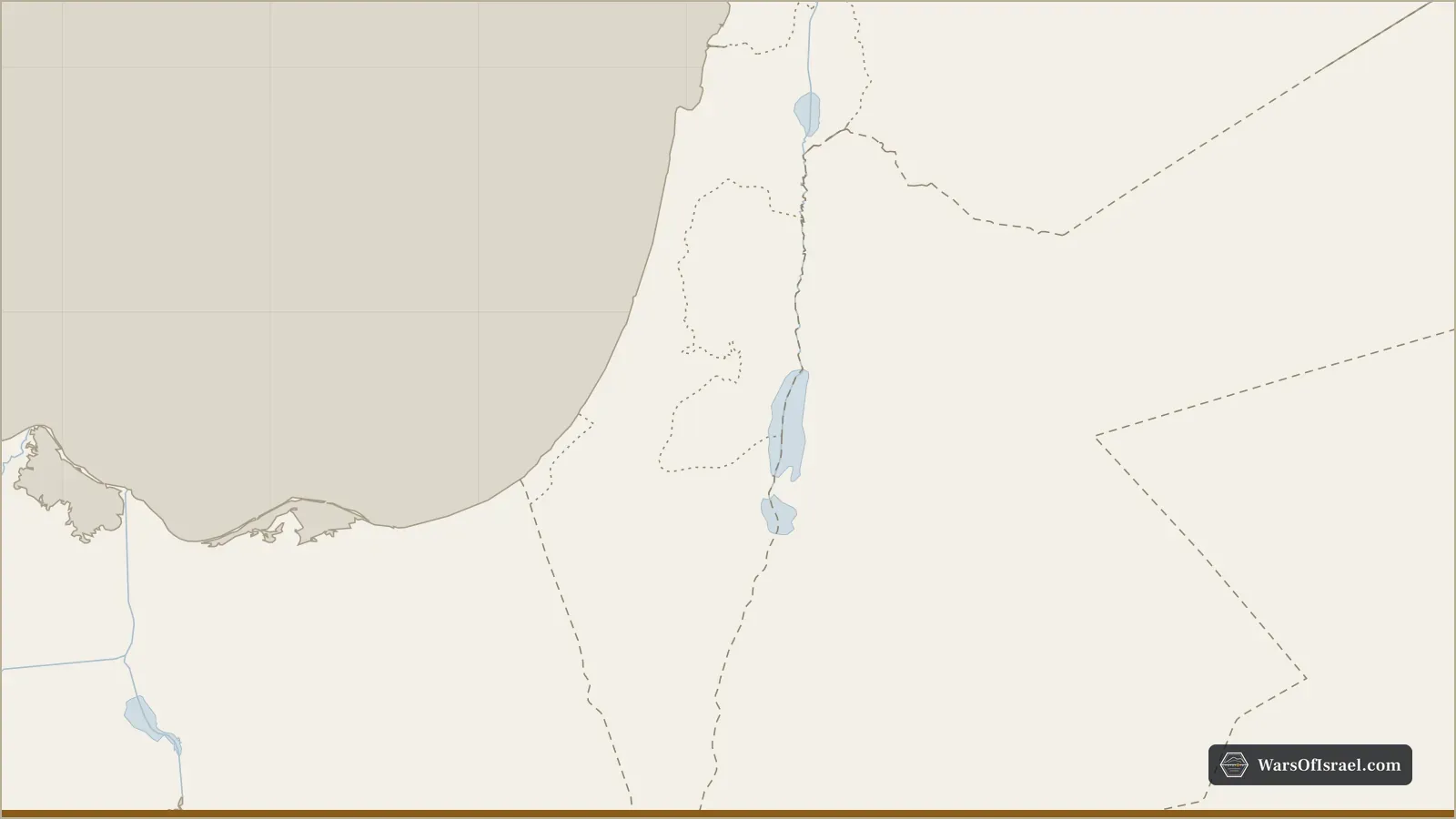
Israel's borders were not drawn once and fixed. They were produced by wars and by the agreements that ended or paused them, and as a result the country has lived with almost every kind of line international practice recognizes: armistice lines in 1949, ceasefire lines after 1967 and 1973, disengagement lines in 1974, internationally recognized peace borders with Egypt in 1979 and Jordan in 1994, a UN-verified withdrawal line in Lebanon in 2000, and, since 2024, a set of military lines in Lebanon, Syria and Gaza whose status is still undecided. Knowing which kind of line is which explains much of the region's diplomacy, because each kind carries a different legal weight and a different promise about the future.
The Mandate boundary and the partition plan
The starting point is the boundary of British Mandatory Palestine. Its northern line with French-ruled Lebanon and Syria was set by Anglo-French agreements between 1920 and 1923; its border with Egypt followed a line agreed between the Ottoman Empire and British-ruled Egypt in 1906; and in 1922 Britain separated Transjordan, east of the Jordan River, from the area where the Jewish national home provisions applied. Those external lines matter still: the peace borders with Egypt and Jordan largely follow them.
On November 29, 1947, the UN General Assembly adopted Resolution 181, which recommended dividing the Mandate into a Jewish state, an Arab state and an international zone around Jerusalem. The Jewish leadership accepted the plan and the Arab Higher Committee and the Arab states rejected it. The partition lines never took effect. They were overtaken within months by the war of 1947 to 1949, which drew the lines that actually came to matter.
The armistice lines of 1949 and the Green Line
The war ended not with peace treaties but with four General Armistice Agreements, negotiated under UN auspices, most of them on the island of Rhodes under the mediator Ralph Bunche. In order of signing:
- Egypt, February 24, 1949, leaving the Gaza Strip under Egyptian control.
- Lebanon, March 23, 1949, along the old Mandate boundary.
- Jordan, April 3, 1949, leaving the West Bank and East Jerusalem in Jordanian hands and dividing Jerusalem.
- Syria, July 20, 1949, with demilitarized zones near the Sea of Galilee and the Jordan River.
Iraq, whose army had fought on the central front, signed no agreement at all. It withdrew its forces and handed its sector to Jordan, and the transfer of that sector brought a string of Arab villages in the area later called the Triangle under Israeli rule. The episode shows how much of the 1949 map was decided at the negotiating table rather than on the battlefield.
The agreements stated in plain terms that the demarcation lines were dictated by military considerations and did not prejudice any final settlement. Israel's line with Jordan, drawn in green ink on the negotiating maps, became known as the Green Line, and the name later spread to the whole 1949 boundary. Israel treated the lines as its borders in practice, while the Arab states treated them as temporary. The demilitarized zones on the Syrian front were the scene of repeated clashes in the 1950s and 1960s, and the line with Jordan saw the infiltration and reprisal raids described in the record on the retribution operations.
In the Sinai campaign of 1956 Israel briefly took Gaza and the Sinai Peninsula, then withdrew by March 1957 under American and Soviet pressure. The armistice line with Egypt was restored, with a UN Emergency Force stationed on the Egyptian side.
The ceasefire lines of 1967 and 1973
The Six-Day War moved every Israeli front line. By June 10, 1967, Israeli forces stood on the Suez Canal, the Jordan River and the Golan Heights, and the new positions became ceasefire lines. On November 22, 1967, the UN Security Council adopted Resolution 242, which called for the withdrawal of Israeli armed forces "from territories occupied in the recent conflict" alongside the termination of all claims of belligerency and respect for every state's right to live in peace "within secure and recognized boundaries." The absence of the definite article before "territories" in the English text became the subject of lasting argument over whether a full or partial withdrawal was meant.
Israel treated the different areas differently. It applied Israeli law to an enlarged East Jerusalem in June 1967, and later, by the Golan Heights Law of December 14, 1981, to the Golan. The West Bank and Gaza were held under military administration. In July 1980 the Knesset passed Basic Law: Jerusalem, the Capital of Israel, declaring "Jerusalem, complete and united" the capital; the UN Security Council responded with Resolution 478, which called on states to withdraw their embassies from the city. Most of the international community regards East Jerusalem, the West Bank and the Golan as occupied territory; Israel's own position has varied by area and over time, and the United States recognized Israeli sovereignty over the Golan in 2019.
The Yom Kippur War of October 1973 produced new ceasefire lines, with Israeli forces west of the Suez Canal and on a salient toward Damascus. These were replaced by two disengagement agreements negotiated with American mediation: with Egypt on January 18, 1974, and with Syria on May 31, 1974. The Syrian agreement created a buffer zone on the Golan patrolled by the UN Disengagement Observer Force, a line that remained quiet for most of the next half century.
Peace borders with Egypt and Jordan
The first line to become a permanent, mutually recognized international border was the one with Egypt. Under the peace treaty signed on March 26, 1979, Israel withdrew from the whole Sinai Peninsula in stages, completing the withdrawal on April 25, 1982. A dispute over a strip at Taba, near Eilat, went to international arbitration, which ruled for Egypt in 1988, and Israel handed the area over in 1989. Gaza, which Egypt had held between 1949 and 1967, was not part of the settlement.
Jordan followed on October 26, 1994. The treaty fixed the boundary along the Jordan and Yarmouk rivers, the Dead Sea and the Arava valley, with special arrangements for two small agricultural areas, Naharayim and Tzofar, that Jordan leased to Israeli farmers for 25 years. Jordan declined to renew those arrangements when they expired in 2019. The treaty left the West Bank out of the border definition: Jordan had renounced its claim to it in 1988, and its status was to be settled between Israel and the Palestinians.
Lebanon, Gaza and the West Bank since 1978
Lebanon shows how long a temporary arrangement can last. After the south Lebanon conflict, Israel withdrew from its security zone in May 2000, and the UN marked a withdrawal line, the Blue Line, to confirm it. The Blue Line is not a border; Lebanon disputes several points along it, as well as the area of the Shebaa Farms. A different kind of agreement, signed separately by both countries with American mediation on October 27, 2022, set a maritime boundary between their economic zones, without either side recognizing the other.
In the Palestinian territories the lines multiplied. The Oslo interim agreement of 1995 divided the West Bank into Areas A, B and C with different civil and security powers, a division meant to last five years that still shapes daily life. Construction of a separation barrier began in 2002, during the second intifada; its route follows the Green Line in some places and runs east of it in others. In August and September 2005 Israel withdrew its settlements and forces from the Gaza Strip, while keeping control of its airspace, coastline and most crossings, the background to the conflict between Gaza and Israel since 2005.
The lines drawn since 2024
The wars that began in October 2023 produced a new generation of military lines whose legal status is open. After the ceasefire with Hezbollah of November 27, 2024, Israel withdrew from most of southern Lebanon but, after February 18, 2025, kept troops at five hilltop positions near the Blue Line. After the fall of Bashar al-Assad on December 8, 2024, Israeli forces moved into the buffer zone on the Golan created in 1974 and positions beyond it. And under the Gaza ceasefire that took effect on October 10, 2025, the army pulled back to an agreed line inside the Strip, known as the yellow line, while retaining control of a large share of its territory.
Two other developments of these years changed Israel's relations without moving any line. The Abraham Accords of 2020 established relations with the United Arab Emirates, Bahrain and later Morocco, states with which Israel had never fought a war over territory. And the direct exchanges of fire with Iran in April and October 2024 and the war of June 2025 showed that some of Israel's most dangerous fronts had no shared border at all.
None of these is a border, and history suggests caution in predicting which will last. The 1949 lines were meant to be temporary and lasted eighteen years; the 1974 Syrian line was meant to be a step toward peace and lasted fifty. The maps section of this site shows present-day boundaries and says so, because every other line on Israel's map is a record of a particular war and a particular agreement.